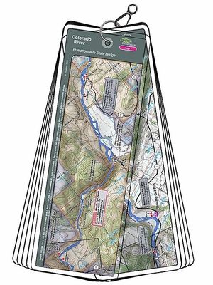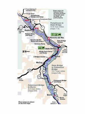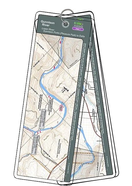
The Troutmap Lower Gunnison River Map Set provides detailed river maps covering 17.3 miles of Colorado’s Lower Gunnison River, from Gunnison Forks (Pleasure Park) to Confluence Park in Delta. Designed for anglers, floaters, and outdoor enthusiasts, this map set is a valuable resource for exploring and navigating one of Western Colorado’s most popular trout fisheries.
The first 7.5 miles travel through the Gunnison Gorge National Conservation Area, offering access to scenic canyon water and productive fishing opportunities. Farther downstream, much of the river flows through private property, making it important for anglers to understand public access and river boundaries when planning their trip.
Featuring five detailed river maps and one overview area map, the Troutmap Lower Gunnison River Map Set helps anglers plan fishing trips, navigate river sections, and explore the Lower Gunnison from Pleasure Park to Delta.