
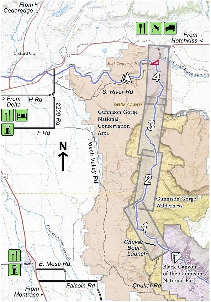
Gunnison Gorge NCA - Chukar to Gunnison Forks (Pleasure Park)
Product Details
Brand: Troutmap
This map set follows Colorado's Gunnison River for 13.5 miles through the Gunnison Gorge Wilderness and the Gunnison Gorge National Conservation Area from the put-in at Chukar to the take-out at Gunnison Forks (Pleasant Park).
Everything (including boats) must be carried down the 1 mile Chukar trail to the put-in. No carts or wheeled devices are allowed, so this is no place for a drift boat. A total of 15 class 3 rapids and 2 class 4 rapids are on this stretch of river to challenge your boating skills. Fabulous scenery and fabulous fishing as well.
4 river maps, a rapids classification guide, and an area map
- Laminated and waterproof maps that follow the river channel.
- Individual maps are secured with a stainless steel split ring, and includes a snap hook that allows clipping to a cable retractor on waders or boat.
- Cable retractor is not included, but is available for purchase on our website - click here for more info.
- River features such as rapids, boat ramps, access points, campgrounds, and river camps are clearly shown.
- Each map set contains an area map showing the general location of fly shops, shuttles, lodging, fuel and places to eat.
- Approximate size: printed map: 3-3/8 inches by 10-1/4 inches; laminated page: 3-3/4 inches by 10-1/2 inches.
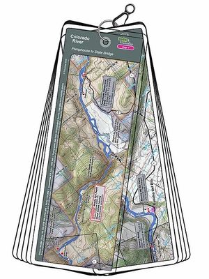
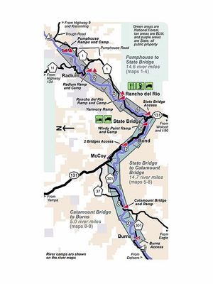
Colorado River Troutmap - Pumphouse to Dotsero Combo
Colorado River Troutmap - Pumphouse to Dotsero Combo
This Colorado River Troutmap is handheld and waterproof - Ideal for the fisherman, rafter, or kayaker.
$44.95